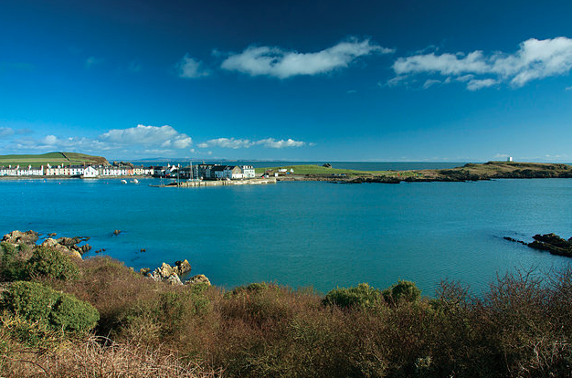
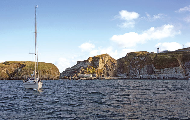
Peter Bruce packs a picnic and takes a dinghy day trip to explore a secret haven just a mile or two from the Solent
Among the prettiest of all Solent creeks is Western Haven in Newtown, which has a simple magical charm.
Long ago, the Romans were said to appreciate the quality of the oysters here and a town was founded by the Bishop-elect of Winchester in the 13th century.
The town showed initial promise as a trading port but, after a devastating raid by the French in 1377 and perhaps also the effect of the Black Death, it went into decline and subsequently failed, leaving the original ground plan still visible from the air.
This rare feature is of great interest to archaeologists because most towns of this age have been built over, destroying the original street pattern and house plot boundaries.
Today, it’s one of the more popular anchorages in the western Solent, a National Nature Reserve owned by the National Trust and home to several enticingly bucolic creeks, ripe for exploration by dinghy.
Two metres of depth can be found in the channel on a good spring tide but finding the deep route can be rather testing and the consequences
of becoming stuck in a keel boat can be rather calamitous. Boats with vulnerable propellers are a bit unsuitable as well, so all in all there are few visitors and quite often, you have the whole inlet to yourself.
A trip in the dinghy is quite another matter and, if one is lucky enough to be able to sail, wildlife will not be disturbed. The expedition can be undertaken any time of year but choosing to leave at the start of the high water stand is wise, as Newtown mud is especially binding. Try to choose a sunny day, bring the children, the dog on a lead and a picnic. If sailing or outboarding, take a pair of oars as backup.
Continues below…
The Isle of Whithorn in Scotland
It may be slightly out of the way for those heading north, but this anchorage near the Solway Firth is…
Lundy, Bristol Channel
Lundy is a bird-watcher’s paradise with its own particular character, but mind the swell, says Jonty Pearce
Watermill Cove, Isles of Scilly
A remote, attractive anchorage away from the crowds, for Mark Fishwick Watermill Cove is also a useful bolthole when St…
Finding the channel requires a little skill, though sticking to the middle pays off mostof the time. Use the navigational marks on the
few occasions there are any to be found. As you go up the creek, think of the momentum and scouring effect of flowing water and thus stay
on the outside of any bend. Look at the surface where the slightest contrary wind will generate ripples where the current is flowing most strongly and this will be the deepest water. If in doubt, stick an oar in to find the depth.
Weed on the surface usually means shallows and often, the bottom can be seen in thinly covering water. This may be a good point to get both oars out. An encounter with the riverbed should not be taken as a signal to retreat, merely failure to have found the main channel at the first attempt, so study the surface and try elsewhere. My book Solent Hazards has aerial photographs taken at low tide that show the channel.
Red squirrels can sometimes be seen in the woodland that appears on the right at the intersection of Shalfleet and Western Haven and this is where the loveliest scenery starts. After the first right-handed bend most of the way up to the bridge at Ningwood, both sides of the river are mainly lined with oak trees.
There are two creeks off to the right of the channel but no easy place to disembark, though just short of the bridge on the left there is a landing place and a path to the road. This area is often busy with ducklings in summer. Primroses and violets will be seen in the spring, samphire in June and July and sloes in late September.
Small craft will be able to pass under the bridge, though there is rather less depth further up here at Ningwood Lake, which is slightly more adventurous. A little scrutiny and perhaps trial and error will find the channel. After passing under the bridge, go firmly right and after
a stretch of 120m going right of the middle, go again to the right until the channel narrows when the best water will be in the middle, fallen trees allowing.
The inlet goes up to a footbridge which is as far as any boat can go. There is a grassy sloping field on the right where one might be lucky enough to see in summer a silver-washed fritillary or a green-winged orchid. Mallard, grey heron, pheasant and foxes are quite common all through the year and ospreys use Newtown as a resting place in spring and autumn on their migration north and south. A footpath leads south through fields to the hamlet of Ningwood on the A3054 main road and north to the village at Cranmore and eventually to Hamstead.
Western Haven is a lovely find: please don’t make noise, wash or leave litter so others can enjoy it too!


